What's flying over you?
You might be surprised.
SkyLedger gives everyday citizens a real way to do something about our sky being manipulated — track flights, build evidence, follow the money, and join the movement passing laws across America.
3
States with bans enacted
30+
States with pending bills
Clear Skies Act
Federal bill introduced
Sept 2025
Congressional hearing
Track & Tag
See something overhead? Track it live. Identify the operator. Tag known cloud seeders. Submit photo evidence — we cross-reference your photo’s time and location with live flight data automatically.
Track it now →

Take Action
Ready-to-send legislator letters. Printable flyers. Request government records. Support the federal lawsuit. Donate to the organizations on the front lines.
Get involved →
See the Evidence
Follow the money. Read the congressional testimony. See who’s funding this. Every claim cited with government records and primary sources.
Follow the money →
Every claim on this site links to its government source. See for yourself.
An Israeli company is releasing secret, patented particles into the stratosphere — and they won’t tell anyone what’s in them.
- Zero published data. No peer-reviewed research. No public safety assessment. No public consultation.
- Suspiciously funded. $75M raised in under two years — more than all other geoengineering startups combined.
- Intelligence and defense ties. Their lead investor’s advisory board includes a former Mossad Chief of Intelligence, a former IDF Unit 8200 commander, and former directors of the CIA, FBI, and MI5.
- A Cornell scientist says their safety claims “cannot be trusted.” The Center for International Environmental Law calls their plans “reckless.”
Read the full investigation →
See something? Photograph it.
Your phone is a documentation tool. Every photo submitted to SkyLedger is automatically GPS-tagged, timestamped, and SHA-256 hashedWhat does this mean?Every photo gets a unique digital fingerprint (SHA-256 hash) at the moment of upload. If anyone changes even one pixel, the hash changes — proving the image is unaltered. This is the same integrity standard used in federal digital evidence proceedings (FRE 902(13)/(14)). — creating a tamper-proof record that can’t be altered after the fact.
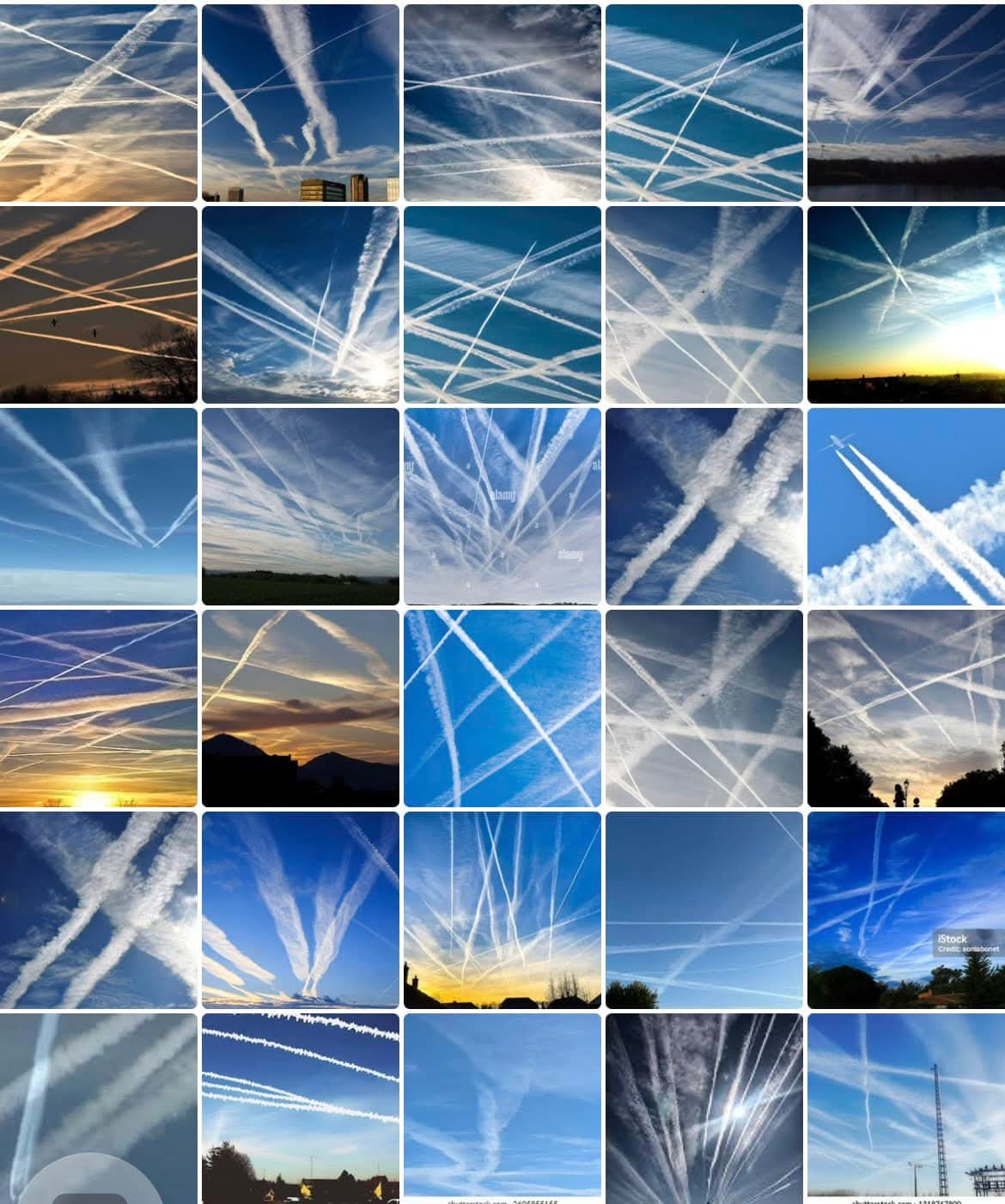
Real observations from citizens across the country. Photos like these help build the public record.
One click. Full transparency.
Click any aircraft in the live tracker and instantly see everything public data can tell you about it.
Who owns it
FAA-registered owner name, city, state. See who’s behind the LLC.
Where it’s going
Departure & arrival airports when available
What type it is
Aircraft make, model, year, photo
Live tracking
Real-time position, speed, heading + flight trail drawn on the map
Tagged & logged
Known weather modification operators are tagged and logged in the public ledger. Orange = low-mid altitude (where cloud seeding operates), purple = upper altitude (cruise & SAI range), red = known weather modification operator.
Tamper-proof record
Every data point from government sources. SHA-256 hashed — the same integrity standard used in federal court.
How you can help
This fight is being won by everyday people showing up. Here’s how to get involved.
Our data sources
Every data point comes from a verifiable public source. We aggregate — the government already collected it.
- ADS-B Exchange (unfiltered flight tracking)
- FAA Aircraft Registry (ownership records)
- NOAA Weather Modification Reports
- USASpending.gov (federal contracts)
- EPA Air Quality System
- State weather modification permits